Nine storefronts,
one block
Franklin Street runs four blocks along the north edge of the UNC campus and turns over faster than any street in Orange County. Mama Dip’s closed in 2021 after fifty years. Top of the Hill has held the corner above Columbia Street since 1996.
Principal supporters




Everybody eats here eventually
Bill Neal put shrimp and grits on the menu at Crook’s Corner in 1982; the room closed in 2021. Weaver Street Market has been member-owned since 1988. Top of the Hill started distilling in 2012.

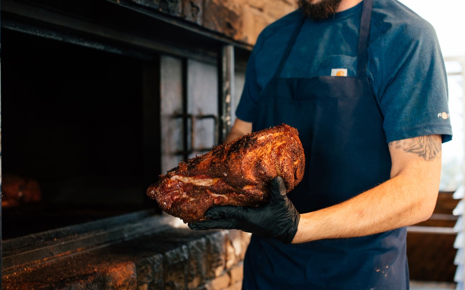
Whole hog to the east, shoulder to the west
Twelve miles to a billion-dollar campus that slowed down
Research Triangle Park was founded in 1959 on pine land between Durham, Raleigh and Chapel Hill. Apple announced a campus there in April 2021 and, as of 2024, had moved the timetable. The metro’s population kept climbing through both.
The ground covered
Nine places, and the pieces they belong to
- 1Chapel HillFranklin and Columbia. Top of the Hill has held the corner since 1996.
- 2CarrboroThe farmers’ market sells only what its growers raise.
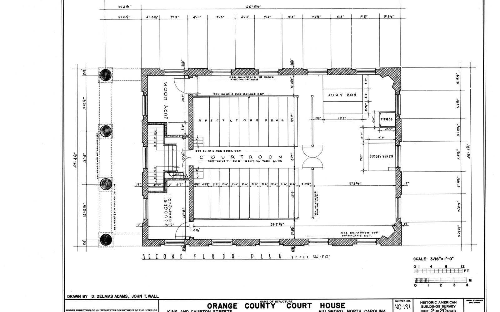
- 3HillsboroughChurton Street, and the colonial grid that survived the interstate.
- 4Eno RiverFew’s Ford. Mills before reservoirs.
- 5DurhamAmerican Tobacco, and the Lucky Strike tower left standing over it.
- 6RTPLaid out on pine land between the three cities in 1959.
- 7RaleighPoole’s Diner anchors the rooms; the rest sit within a few blocks.
- 8Jordan LakeBuilt on the Haw and the New Hope.
- 9High PointWest of this frame — marked on the state locator below. The furniture market takes the city over twice a year.
- the ground these pieces cover
- 12 miles, Franklin Street to the park
- latitude and longitude, quarter degrees
Supporters of this site








Chartered in 1789, and the reason the street exists
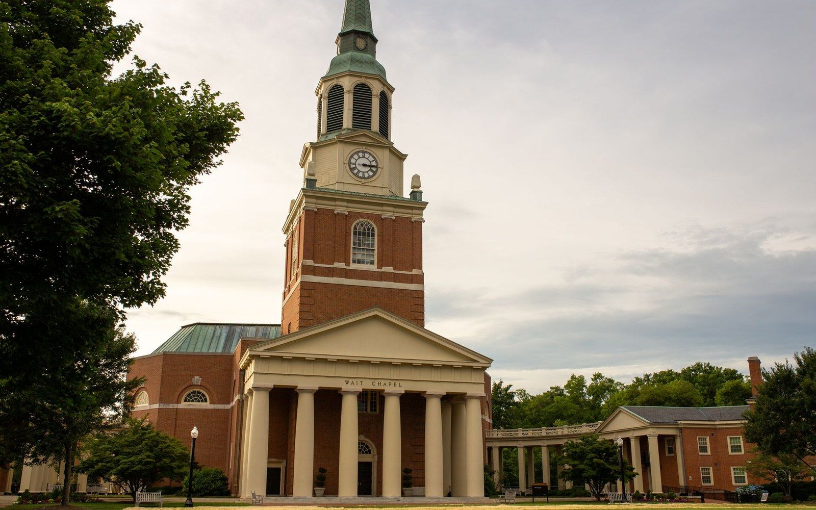
The cornerstone of Old East was laid in 1793 and the town was incorporated in 1851. The Dean Smith Center opened in 1986. The Confederate monument on McCorkle Place was pulled down in August 2018 and its pedestal removed in January 2019.
Drawn once
A pot still on the third floor of a brewpub
TOPO Distillery went in above the brewery in 2012, working from North Carolina grain. Pot, swan neck, condenser: the shape has not changed in two centuries.
Out past the bypass
The state beyond Orange County: two rivers, a parkway, a furniture market and the two things everybody here drinks.